Hive Virtual Plant Hive Virtual Plant
  • Home
  • About Us
  • Tools
  • Services
  • Clients
  • Contact
Category:
  • All Categories
  • 3D Laser Scanning
  • 3D Scanning
  • Accessories
  • Applications
  • Architectural Design
  • As-Built Surveys
  • Asset Management
  • BIM
  • Blog
  • Business
  • Canada
  • Chemical Plant
  • Civil Engineering
  • Clash Detection
  • Construction
  • Cost of Laser Scanning
  • Digital Twin Technology
  • Drones
  • Engineering
  • Equipment
  • Factory Mapping
  • Food Production Plant
  • Heritage
  • Land Mapping
  • Laser Scanning
  • Leica C10
  • Leica Cyclone Software
  • Leica Geosystems
  • Leica ScanStation P20
  • LiDAR
  • Manufacturing
  • Misconceptions of 3D Laser Scanning
  • News
  • Ontario
  • Photogrammetry
  • Pipeline Scanning
  • Plant Design
  • Plant Engineering
  • Point Cloud Data
  • Power Plants
  • Reality Capture
  • Surveying
  • Telecommunications
  • Terrestrial Scanning
  • Toronto

August 15, 2020 How does 3D laser scanning make things easier?  Read More
August 10, 2020 Benefits of land mapping drones Read More
August 5, 2020 Photogrammetry vs 3D Laser Scanning  Read More
August 1, 2020 How to justify the use of 3D laser scanning for your business Read More
July 10, 2020 Using 3D laser scanning technology for construction Read More
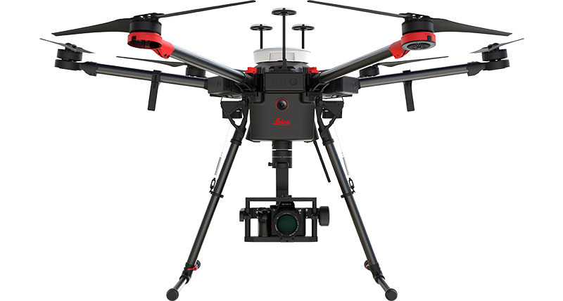
June 1, 2020 Can drones be used for laser scanning? Read More
May 16, 2020 The Leica ScanStation P20  Read More
April 7, 2020 Laser scanning for power plants Read More
April 1, 2020 Plant engineering with 3D laser scanning Read More
March 15, 2020 When to Use Laser Scanning Read More
« Older Posts
Newer Posts »
Recent Posts
  • 4 Reasons Why 3D Laser Scanning Is Important for Safety on Job Sites
  • 6 Applications for 3D Laser Scanning in Civil Engineering
  • Four Reasons For Using A 3D Laser Scanner on Pipe Inspections
  • Four Reasons Why You Should Use a Drone for 3D Laser Mapping Projects
  • Architectural 3D Scanning: Three Advantages of Using Lidar Scanners for Building Surveys.
Recent Comments
    Archives
    • February 2022
    • October 2021
    • September 2021
    • August 2021
    • July 2021
    • June 2021
    • May 2021
    • April 2021
    • March 2021
    • November 2020
    • October 2020
    • September 2020
    • August 2020
    • July 2020
    • June 2020
    • May 2020
    • April 2020
    • March 2020
    • February 2020
    • January 2020
    Categories
    • 3D Laser Scanning
    • 3D Scanning
    • Accessories
    • Applications
    • Architectural Design
    • As-Built Surveys
    • Asset Management
    • BIM
    • Blog
    • Business
    • Canada
    • Chemical Plant
    • Civil Engineering
    • Clash Detection
    • Construction
    • Cost of Laser Scanning
    • Digital Twin Technology
    • Drones
    • Engineering
    • Equipment
    • Factory Mapping
    • Food Production Plant
    • Heritage
    • Land Mapping
    • Laser Scanning
    • Leica C10
    • Leica Cyclone Software
    • Leica Geosystems
    • Leica ScanStation P20
    • LiDAR
    • Manufacturing
    • Misconceptions of 3D Laser Scanning
    • News
    • Ontario
    • Photogrammetry
    • Pipeline Scanning
    • Plant Design
    • Plant Engineering
    • Point Cloud Data
    • Power Plants
    • Reality Capture
    • Surveying
    • Telecommunications
    • Terrestrial Scanning
    • Toronto
    Meta
    • Log in
    • Entries feed
    • Comments feed
    • WordPress.org
    Contact

    2 Guelph Street,
    Georgetown, ON
    L7G 3Y9

    Phone: (905) 452-2049

    • Home
    • In the News
    • Where to Find Us
    • Privacy Policy
    Links
    • Leica Geosystems
    © 2019 Hive Virtual Plant | Programmed by BCNI.ca