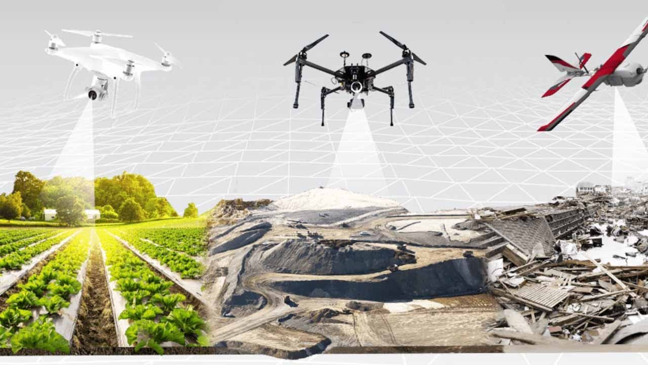
Benefits of land mapping drones
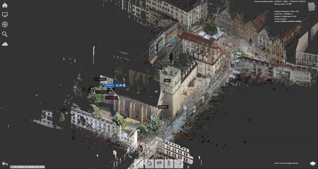
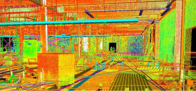
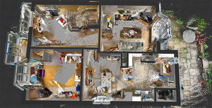
3D laser scanning is a technology that is being utilized for companies to collect accurate data in a timely manner. Used for a variety of applications, 3D laser scanning is very beneficial for businesses that are undergoing changes to their operations. However, the use of 3D laser scanning technology is only beneficial while on land. Enter drones. You have probably heard of drones or have seen someone flying one. Drones can now be used as a useful scanning and surveying tool. If you are wanting to get a good look at the land around your business, or piece of land that you are wanton to build on, drones can get up into the sky and provide detailed information. At Hive Virtual Plant, we supply our clients with state-of-the-art 3D laser scanning equipment. However, in this article, we will be sharing some information about some of the benefits of land mapping drones.
Click here to learn more about our services at Hive Virtual Plant.
Drones provide safety to those below
Because drones are able to reach high altitudes and scan large areas at a time, the need for employees or other people below assisting with the process is basically non-existent. A single drone can do more work than a team of people on the ground could do scanning the same area. Fewer people on the job site means fewer chances of injury or even worse.
Drones capture data very quickly
When it comes to speed, there’s no comparison when it comes to drone land mapping. Drones are able to fly at very high speeds, and they are very agile in the air. Instead of days or weeks, drone mapping takes minutes to complete a site survey with the same amount of accuracy as you would on foot.
Drones can be the only tool needed on the job site
Because drones are so capable, there is no need for other equipment for the land surveying process. Instead of theodolites, infrared reflectors, and GPS, land surveyors can now use drones that autonomously pilot with the push of a button. These drones are capable of producing equivalent results as the aforementioned tools without all of the heavy-lifting and exhaustion.
The budget for your project
The ability to make efficient use of a budget is at the forefront of most folks’ minds. The beauty of drone technology is you most likely already have the budget. Drone mapping can fit seamlessly into your pre-existing budget allocations and can also increase company budget and time to spend on other tasks.
There are many benefits of using drones for land mapping. At Hive Virtual Plant, we specialize more in 3D laser scanning equipment, however, drones are also prominent in the industry, which is why we decided to create an article about them. For more information about 3D laser scanning technology or drones, we encourage you to get in touch with a Hive Virtual Plant representative.
Click here to find our contact informant or speak with a Hive VP representative.
About The Author: Rob Jickling
More posts by Rob Jickling