
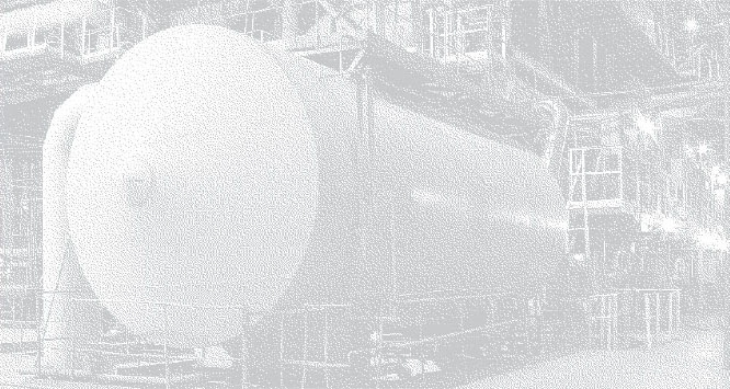
If you’re going to make big promises you better back them up with excellence and reliability. We’ve partnered with Leica Geosystems for laser scanners and point cloud software.
Here’s a quick glimpse inside our toolbox.
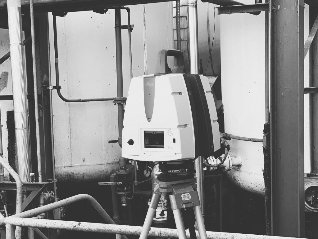
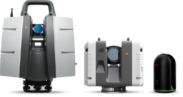
Hardware
Leica ScanStation P30 High Definition Surveying (HDS) Scanner.
With this we obtain the highest degree of accuracy and survey control.
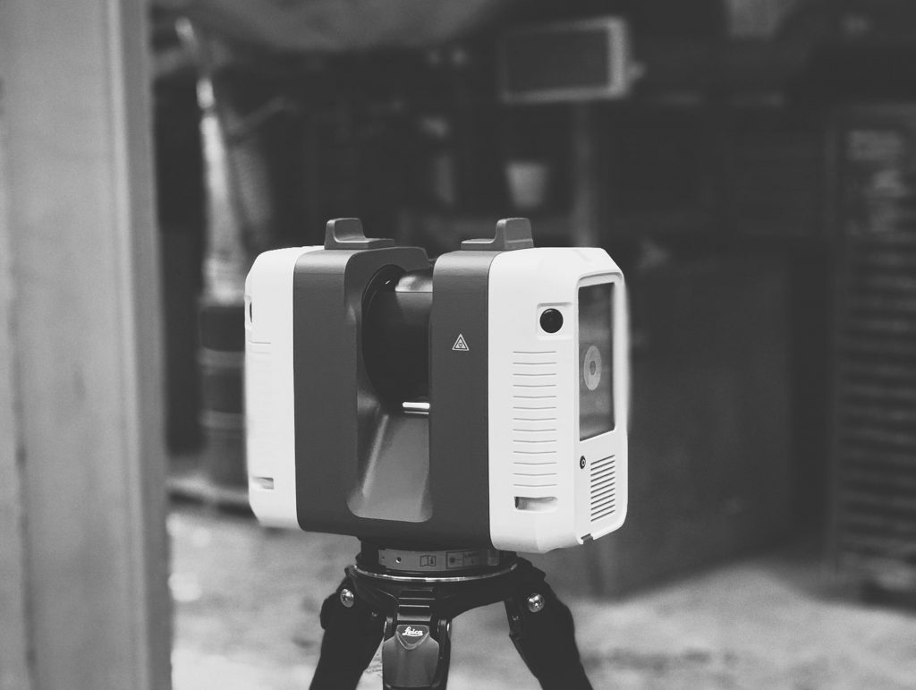
Leica RTC360
The most accurate and productive scanning/HDR photo on-site workflow on the market.
Leica BLK360
Gives us access for the tight spots and hard-to-reach places.
Software
Leica
- Cyclone Register
- Cyclone Register 360
- Cyclone Field 360 Mobile
- Jetstream
- TruView
- Cloudworx for AutoCAD
- Navisworks
Autodesk
- ReCap Pro
Bloom Technologies
- BloomCE
If you’re interested in precision, accuracy and access we should talk.
It would be our pleasure to learn more about your requirements and how we might assist.