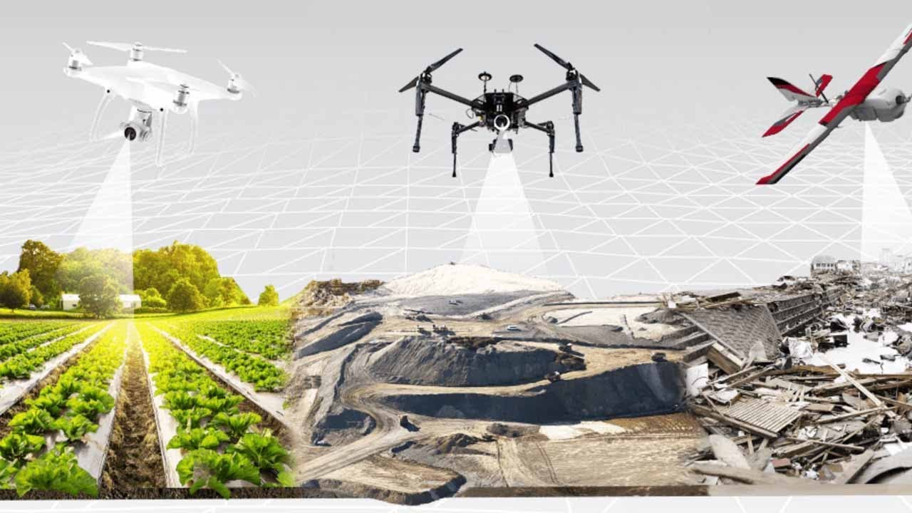
How can aerial drone surveying be beneficial?
Surveying a large piece of land for a build project or excavation can be a complicated task that can cost a lot of money and time. Thankfully, there is state-of-the-art technology and equipment that a project manager can use to keep the costs down, save time, and keep people safe on the jobsite. Enter aerial drone surveying. Surveying drones allow for quick and accurate data to be collected of the jobsite that can then be viewed in high definition in real-time. At Hive Virtual Plant, we are in the business of supplying high-end 3D laser scanning equipment to our clients by Leica Geosystems. However, we also like to inform our customers and the public about other industry trends. For these reasons, we have compiled some information about how aerial drone surveying can be beneficial.
Click here to learn more about our services at Hive Virtual Plant.
Decrease the field time and costs for the job
Larger sites can take days and sometimes weeks for land surveyors to compile information using traditional methods. Collecting this same data via drone technology saves the team time. Capturing topographic data with a drone is up to five times faster compared to land-based methods.
Experience fewer disruptions in the work
Since drones are capturing data from above, operations on site won’t be interrupted. Using a drone also requires less manpower. There’s no need to place multiple specialists at a site when you have a drone to survey the land. And you won’t need to close down highways or train tracks. Capturing data during a project operation using a drone provides no disruptions.
Get accurate and precise measurements and data
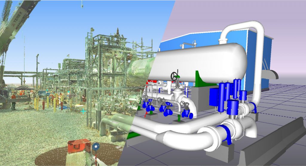
Drone cameras take a series of high-definition photos at different angles, creating thousands of accurate data points, including geo-references, elevation points, and colors. This allows developers to create 3D models of a site or building. Clients can see more than what a traditional survey provides. The maps created using data from a drone can be used to extract highly accurate distances and volumetric measurements.
Map inaccessible areas easier
Land surveying can be a dangerous job. Drone surveys eliminate the need for surveyors to traverse unknown terrain. This helps avoid high-risk situations, navigating areas such as rail lines or rocky terrains. Drones are especially useful in gathering data in hard-to-reach locations or vantage points that are inaccessible.
To learn more about how aerial drone surveying can be beneficial, or to learn about other 3D laser scanning technology, we encourage you to get in touch with our team at Hive Virtual Plant today. Click here to find our contact information.


About The Author: Rob Jickling
More posts by Rob Jickling