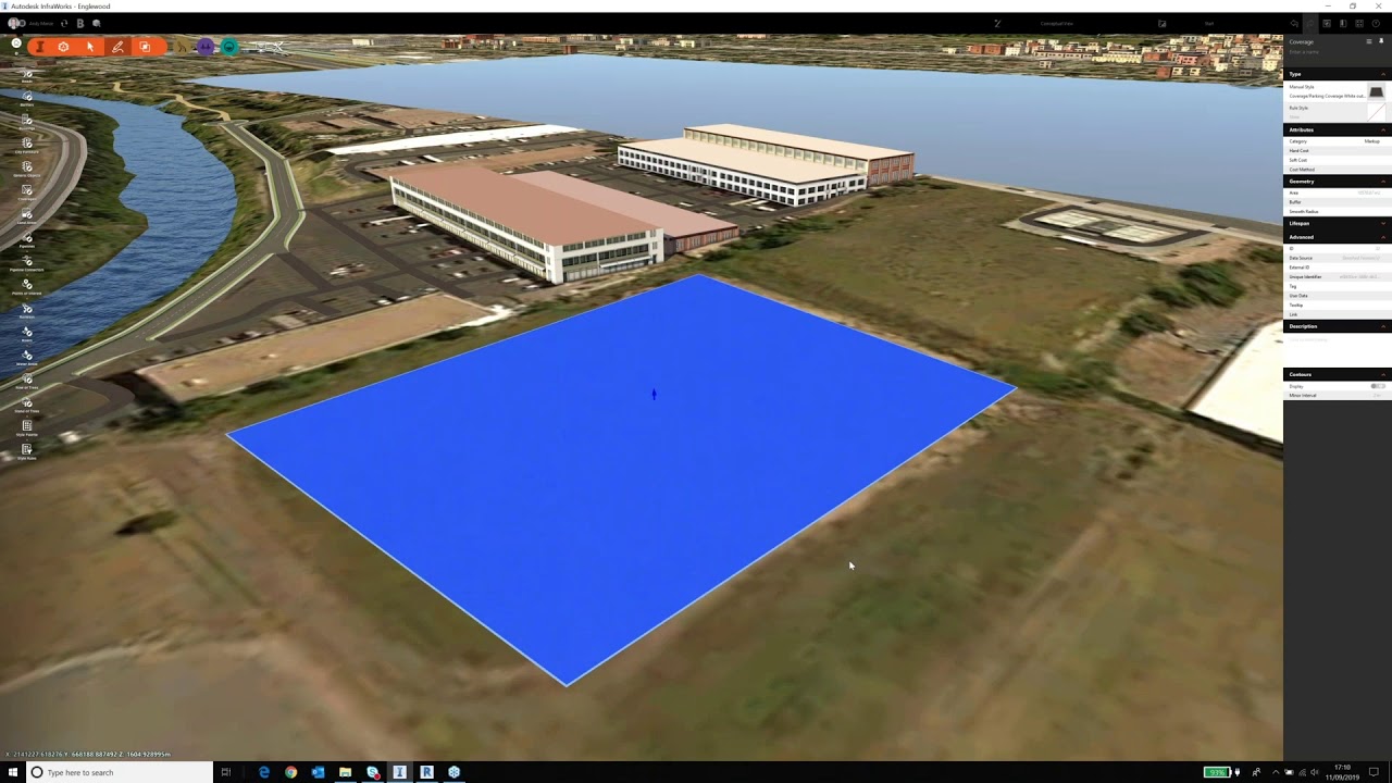
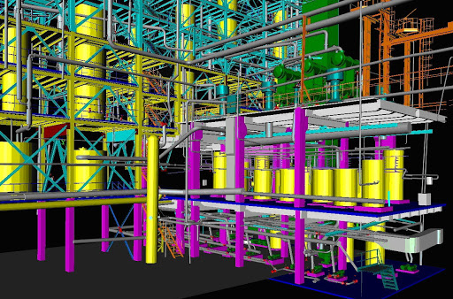
Surveying land with 3D laser scanning
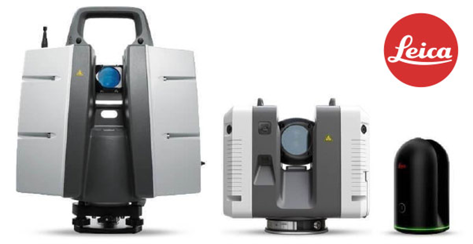
3D laser scanning technology has been used for land surveying for many years now, and for good reason. With 3D laser scanning technology, you can obtain the highest quality real-time data about your job site or structure. 3D laser scanner surveying immediately enhances data collection and project outcome. Problems that surveyors faced for years before they could access 3D scanning in their work fell away due to this technology, and improvements are made year after year to consistently keep 3D laser scanners on the leading edge. At Hive Virtual Plant, we are experts when it comes to 3D laser scanning technology and applications. To learn more about surveying land with 3D laser scanning, we encourage you to continue reading this article.
Click here to learn more about our services at Hive Virtual Plant.
Your operations will become faster
For quicker operations on your jobsite, 3D laser scanning is the way to go. Companies that opt into 3D laser scanner surveying immediately see a reduction in the time it takes to survey land and collect data. Outdated methods could take days or weeks, while a 3D laser scanning process often takes as little as a single day.
Get higher accuracy with your data collection
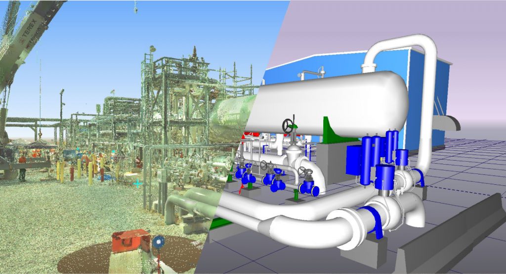
Just because you can collect faster data on your jobsite with 3D laser scanning technology does not mean that you will have to sacrifice accuracy. 3D laser mapping equipment produces the most accurate data available today, with exact details for maps, drawings, models, planning, and more. The precision of these machines is so advanced that it can even show the way the sun hits certain areas of the land.
This equipment is very versatile
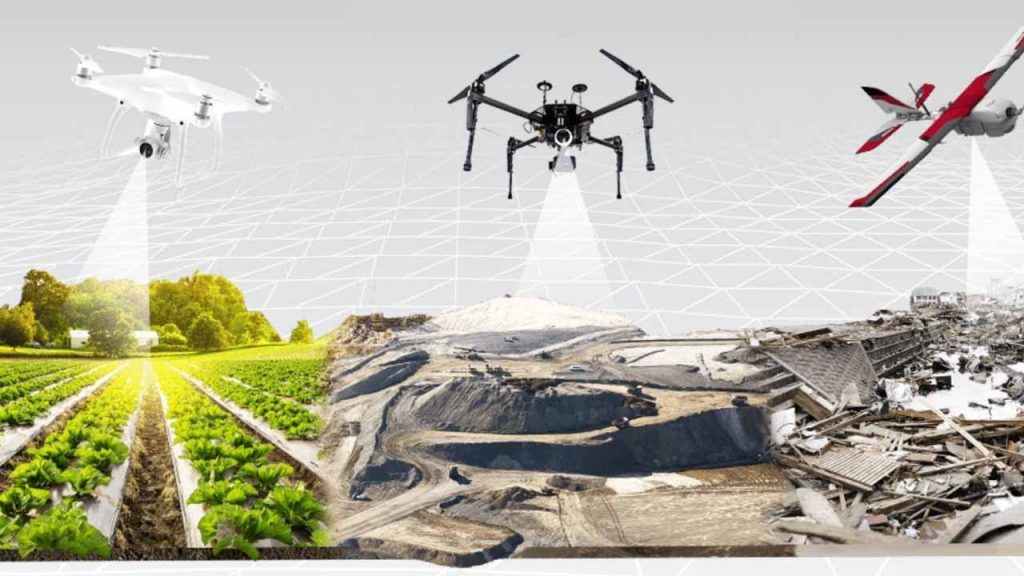
If you are looking for equipment that can allow you to collect data in hard-to-reach areas or to limit the number of people you have on the jobsite, then 3D laser scanning technology can help. 3D scanning equipment can reach every part of a particular environment without slowing for obstacles. Surveyors regularly use the scanners to produce 2D drawings, 3D models, topological maps, and volumetric calculations, among others.
To learn more about surveying land with 3D laser scanning, we encourage you to get in touch with our team at Hive Virtual Plant. Check out our website to learn more about our 3D laser scanning technology and services. Click here to find our contact information or speak with a representative.

About The Author: Rob Jickling
More posts by Rob Jickling