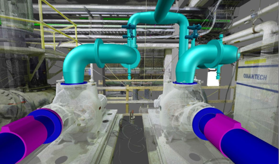
What is 3D laser scanning and how can it be used?
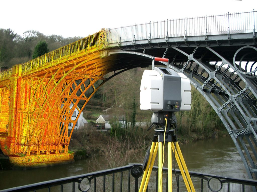
3D laser scanning is a popular land surveying method that can accurately measure and collect data from objects, surfaces, buildings, and landscapes. Laser scanners collect information in the form of point cloud data, which consists of millions of 3D coordinates. At Hive Virtual Plant, we supply our clients with state-of-the-art 3D laser scanning technology by Leica Geosystems. This 3D laser scanning technology is used for company owners to gather real-time and high-definition data about their properties or surrounding land. Perfect for pre-planning construction projects, renovations, measuring overhead clearances, or surveying land, 3D laser scanning technology can be brought in to collect accurate data. In this article by Hive Virtual Plant, we share some information about what 3D laser scanning is and how it can be used.
Click here to learn more about our services at Hive Virtual Plant.
How does laser scanning work?
3D laser scans involve much more advanced technology now than they did back in the 1960s. Present-day laser scanning procedures use laser beams, advanced sensors, Global Positioning Systems (GPS), Inertial Measurement Units (IMU), receiver electronics, and photodetectors. Using all of these components, laser scanners can calculate accurate coordinates of surfaces and structures.
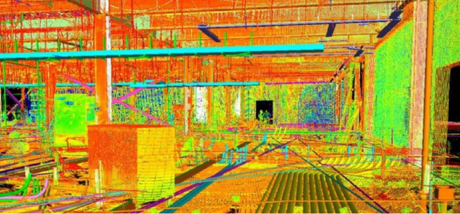
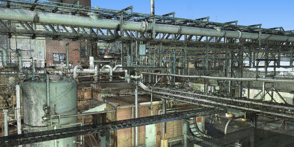
3D laser scanning technology works by emitting light waves that bounce off surfaces and reflect back to a sensor. The sensor then calculates how far away the surface is by measuring the time taken for the light beam to complete its journey. This process happens very quickly and collects millions of 3D coordinates. When the point clouds from laser scans are processed, they form a digital representation of the scanned surfaces, demonstrating the dimensions and spatial relationships of topographic features and structures.
What are some of the advantages of 3D laser scanning technology?
3D laser scanning has a number of distinct advantages that companies can take advantage of. Some of those advantages include:
Collects data quickly:
3D laser scanning technology is capable of collecting millions of 3D coordinates in a very short period of time. 3D laser scanning is perfect for projects that require a very quick turnaround.
Can reduce health and safety risks:
3D laser scanning technology can also collect data from very hard to reach areas. This means that the company’s teams do not have to go into these hard to reach areas and try to retrieve this data themselves, limiting the risk of injury or even worse.
How can 3D laser scanning technology be applied?
There are many different applications for 3D laser scanning technology. Some of the different applications include:
Spatial scanning:
Laser scanners not only reduce the time taken in plotting and spatial scanning but also improve the planning process and considerably cut down the number of errors during the data collection.
Measuring overhead clearances:
If you have a piece of equipment that you need removed from your facility or installed, then 3D laser scanning can allow you to accurately measure the overhead clearance you have.
At Hive Virtual Plant, we supply our clients with state-of-the-art 3D laser scanning equipment for their projects. If you are looking for more information about what 3D laser scanning is and how it can be used, then we encourage you to get in touch with our representatives today.
Click here to find our contact information or speak with a Hive VP representative.
About The Author: Rob Jickling
More posts by Rob Jickling